
The route on your phone
Become a member to use the route with your phone. You can use the app, or open the GPX file in another map app or GPS device.


Now a 23 km cycle through the hilly terrain of Norangsdalen awaits you, full of breathtaking sights. In the Lyngstøylvatnet, you can see the “Atlantis of Norway”. This underwater landscape was formed naturally in 1908 when a landslide created a natural dam by blocking the river, leading to the valley slowly filling with water. Inhabitants had to evacuate, and within a few days, farm, roads and forest were submerged. You can see the remainings through the clear water. It´s popular to dive here to get a closer look.
Norangsdalen is narrow and at Stavbergsetra and Urasetra, the houses were built into the ground as protection against avalanches. They might remind you of the hobbit houses from “The Lord of the Rings.” They are the cutes little cottages.
Arriving in Hellesylt, after a long down-hill, you´ll find café, grocery store and a pizzaplace. The boat from Hellesylt offers an hour of scenic fjord beauty, leading to the world heritage site – Geiranger – deep fjords and towering mountains. With several hotels in Geiranger, you may want to stay over here and explore further opportunities for hiking and cycling.
The app is a practical way to use Norway by Bike on your phone, including routes, favorites and selected membership features.




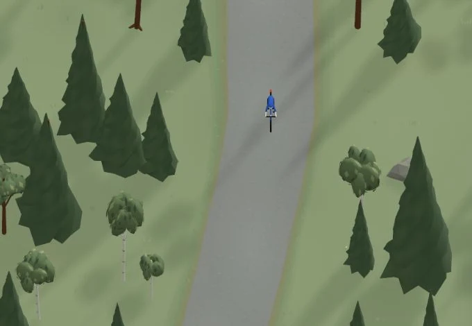
Get a taste of the route in a short, playful cycling game. Follow the bends, take on the hills and discover places along the way.
Start the gameBe the first to suggest a place! As a member, you can add your own locations via the button on the map. Learn more about membership


Found something that does not look right with the GPX file, map, route alignment, or content?
Tips and experiences
As a member, you can read tips from others and share your own experience here.
Learn more about membership