
Kunstnerleden
Intermediate Asphalt Gravel


The eastern route from Kongsberg to Rjukan offers a varied and enjoyable cycling experience through forests, rural landscapes and along Lake Tinnsjøen. The first 21 kilometres follow the same route as the western alternative, before the two routes separate.
The route has several pleasant places to stop and rest along the way. Although there are some climbs, they are generally manageable, and the effort is rewarded with beautiful views towards Lake Tinnsjøen from the higher sections. One of the highlights is Austbygde, beautifully situated on the shores of the lake. This is a lovely place to take a break, with a welcoming café, grocery store, and a campingsite with a beach.
Continuing towards Atrå and beyond, you will encounter more traffic for a while. It may be worth avoiding peak traffic hours on this section. Once you turn off the busier road, the surroundings become quieter again. After crossing the Måna River, the route continues along a pleasant gravel road through the forest towards Rjukan. Rjukan is a historic industrial town, known for its pioneering hydropower development and UNESCO-listed industrial heritage. The town has grocery stores, café, restaurant and other services, making it a good place to take a break and stock up on anything you need before continuing towards Krokan.
From Rjukan, the route continues to Krokan, the historic destination of Kunstnerleden, with views towards Vemork and the dramatic gorge along the way. Unlike the western route, which takes you into the mountains around Gausta, this journey is characterised more by forests, lakes and rural scenery than open mountain landscapes. It offers a rewarding alternative for cyclists who prefer a route without the higher mountain crossing. There are several places for overnight stay along the route.

Use Norway by Bike to find cycling routes on the map and save favorites for your next ride.


Missing a place? Select “Add Location” on the map, then mark its location.
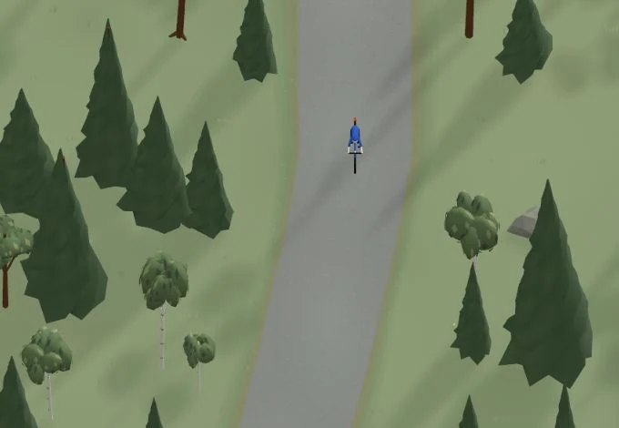
Get a taste of the route in a short, playful cycling game. Follow the bends, take on the hills and discover places along the way.
Is something missing or out of date?
Tips and experiences
Have you cycled here? Share something that was useful to know, such as surface conditions, a good stop, or a section to watch.