
The route on your phone
Become a member to use the route with your phone. You can use the app, or open the GPX file in another map app or GPS device.


This day is characterized by a lot of sea, southern idyll, white houses along the water, and a good variety of paved road and forest.
You cycle along the pier into Arendal, where there is a lot of life, especially in summer time. Here it is tempting to stroll along the Pollen wharf and have an ice cream or lunch. The last half of today’s stage passes through cultural landscapes and small forest areas, past water and ponds before ending in Grimstad.
The app is a practical way to use Norway by Bike on your phone, including routes, favorites and selected membership features.




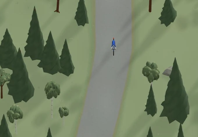
Get a taste of the route in a short, playful cycling game. Follow the bends, take on the hills and discover places along the way.
Start the gameBe the first to suggest a place! As a member, you can add your own locations via the button on the map. Learn more about membership

Found something that does not look right with the GPX file, map, route alignment, or content?
Tips and experiences
As a member, you can read tips from others and share your own experience here.
Learn more about membership