
The route on your phone
Become a member to use the route with your phone. You can use the app, or open the GPX file in another map app or GPS device.


A steady climb through the Marsfjället nature reserve reaches an altitude of 636 meters above sea level, followed by a descent toward Lake Dikasjön at 418 meters. The final stretch on road 1088 leads to the village of Kittelfjäll, a small mountain community situated at 535 meters above sea level.
Kittelfjäll offers a quiet place to rest, with accommodation, local food, and opportunities to explore the surrounding area. This stage combines gentle stretches with a few climbs, providing a balanced and scenic ride for cyclists heading into the Swedish mountain region.
The app is a practical way to use Norway by Bike on your phone, including routes, favorites and selected membership features.




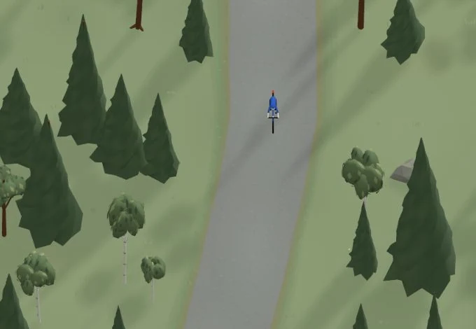
Get a taste of the route in a short, playful cycling game. Follow the bends, take on the hills and discover places along the way.
Start the gameBe the first to suggest a place! As a member, you can add your own locations via the button on the map. Learn more about membership
Found something that does not look right with the GPX file, map, route alignment, or content?
Tips and experiences
As a member, you can read tips from others and share your own experience here.
Learn more about membership