
Midnight Sun Route
Advanced Asphalt


The stage after Hattfjelldal is hilly with smaller climbs as riders follow the shores of Lake Røssvatnet, Norway’s second largest lake, on the narrow and winding roads. Watch out for sheep! This road ends with a long shallow descent of almost 25 km down to the village of Korgen where the it connects to the European highway E6. Here – Korgen Camping offers accommodations.
The app is a practical way to use Norway by Bike on your phone, including routes, favorites and selected membership features.


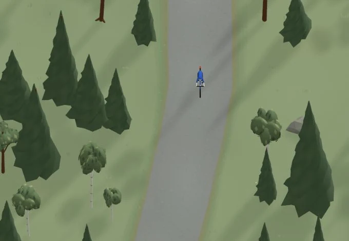
Get a taste of the route in a short, playful cycling game. Follow the bends, take on the hills and discover places along the way.
Start the gameMissing a place? Suggest it on the map.
Help improve this page. Is something missing or out of date?
Tips and experiences
Have you cycled here? Share something that was useful to know, such as surface conditions, a good stop, or a section to watch.