
The route on your phone
Become a member to use the route with your phone. You can use the app, or open the GPX file in another map app or GPS device.


About 7 km after Korgen, the course reaches the North Sea with a view of the Ranfjord and you can smell the salty sea air. South of Mo, the speed limit on the E6 is mostly 70 km/h. Between Korgen and Mo there are two short tunnels that cyclists are allowed to cycle through, and also a stretch of road with tunnels after the village Bjerka that cyclists are redirected around (well signposted). The last few kilometers into Mo i Rana follow beautiful roads along the fjord. The town is surrounded by fjords and mountains and is an important hub in Nordland. Here, you can end your journey with a well-deserved break at one of the local cafes.
You have finished the roundtrip Midnight Sun Route – congratulations!
The app is a practical way to use Norway by Bike on your phone, including routes, favorites and selected membership features.




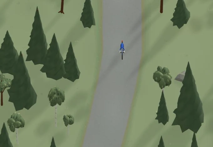
Get a taste of the route in a short, playful cycling game. Follow the bends, take on the hills and discover places along the way.
Start the gameBe the first to suggest a place! As a member, you can add your own locations via the button on the map. Learn more about membership
Found something that does not look right with the GPX file, map, route alignment, or content?
Tips and experiences
As a member, you can read tips from others and share your own experience here.
Learn more about membership