
Midnight Sun Route
Advanced Asphalt


From Sorsele, the journey continues for 28 kilometers along the Inland Road before turning onto Road 363, which closely follows the Vindel River. This river, an unregulated tributary of the Ume River, originates in the Vindelfjällen mountain range. Vindelfjällen Nature Reserve, one of the largest protected areas in Europe, adds a majestic backdrop to this section of the route.
The road is mostly paved and has minimal traffic, making the ride both comfortable and relaxing. Starting from Sorsele, the landscape is characterized by forests and lakes, with the Vindel River as a constant companion for much of the route.
As there are few settlements along the way, it’s recommended to carry sufficient food and water for the day. In Rusksele you´ll find accommodation, restaurant and grocery store.
The app is a practical way to use Norway by Bike on your phone, including routes, favorites and selected membership features.


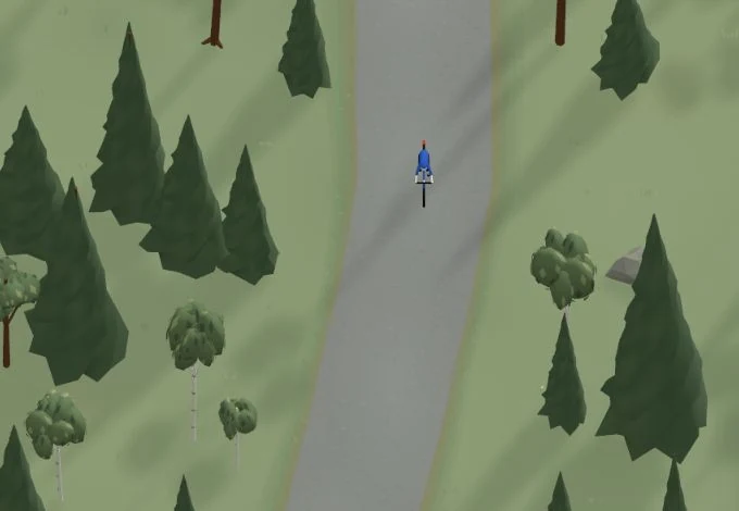
Get a taste of the route in a short, playful cycling game. Follow the bends, take on the hills and discover places along the way.
Start the gameMissing a place? Suggest it on the map.
Help improve this page. Is something missing or out of date?
Tips and experiences
Have you cycled here? Share something that was useful to know, such as surface conditions, a good stop, or a section to watch.