
The route on your phone
Become a member to use the route with your phone. You can use the app, or open the GPX file in another map app or GPS device.


From Torsetlia it is approx. 2 km on the main road back before you leave the traffic behind and enter the gravel road through Smådøldalen. This idyllic stretch is filled with hamlets, mountain lakes, sheeps resting on the road and cows enjoying the green grass.
The surrounding landscape is characterized by high mountains, and several places you follow close to the river Smådøla. As the topography is mainly downhill this is very easy cycling. Fauskodammen is a perfect place to have a break and maybe a bath on nice summer days. Benches, a shelter, barbecue spots, and a nature walking trail with info signs is all found here. It´s easy to miss this hidden gem, so keep an eye on the map as you´re getting close.
After 29 km you´ll come to a crossroad: Continuing straight forward will be the fastest and easiest route to Rødberg. Turning right and following the red signs to Uvdal Stave Church will give you an additional 8,6 km and 300 m ascent.
The last stretch towards Rødberg is on asphalt. Make sure to bring food and beverages today – as you´ll not pass any cafés or stores. In Rødberg you´ll find hotel, restaurant and a grocery store.
The app is a practical way to use Norway by Bike on your phone, including routes, favorites and selected membership features.




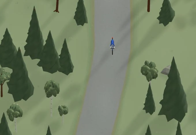
Get a taste of the route in a short, playful cycling game. Follow the bends, take on the hills and discover places along the way.
Start the gameBe the first to suggest a place! As a member, you can add your own locations via the button on the map. Learn more about membership

Found something that does not look right with the GPX file, map, route alignment, or content?
Tips and experiences
As a member, you can read tips from others and share your own experience here.
Learn more about membership