
The route on your phone
Become a member to use the route with your phone. You can use the app, or open the GPX file in another map app or GPS device.


From Sommarøy, it is a short ride to the ferry at Brensholmen. Allow plenty of time to get there before the 45-minute crossing to Botnhamn on Senja. There is a grocery store in Botnhamn, and this is a good place to stock up for the day. Bringing a packed lunch is recommended, as there are few places to buy food along the route and plenty of beautiful places to stop for a break.
From Botnhamn, you follow the coast through an impressive landscape of steep mountains, small settlements and fjords. The road is mostly rolling, with one longer climb, and becomes narrower and more winding in places. There are several tunnels along today’s route. Some are narrow with passing places, while others are wider and well lit. Good bike lights and reflective clothing are recommended.
One of the highlights of the day is Ersfjordstranda, a beautiful white sandy beach surrounded by dramatic mountains. There are also several rest areas along the route, making it easy to stop and enjoy the landscape. Keep an eye out for reindeer, which can sometimes be seen close to the road. From Ersfjord, continue through the changing coastal landscape towards Skaland, your destination for the day.
The app is a practical way to use Norway by Bike on your phone, including routes, favorites and selected membership features.




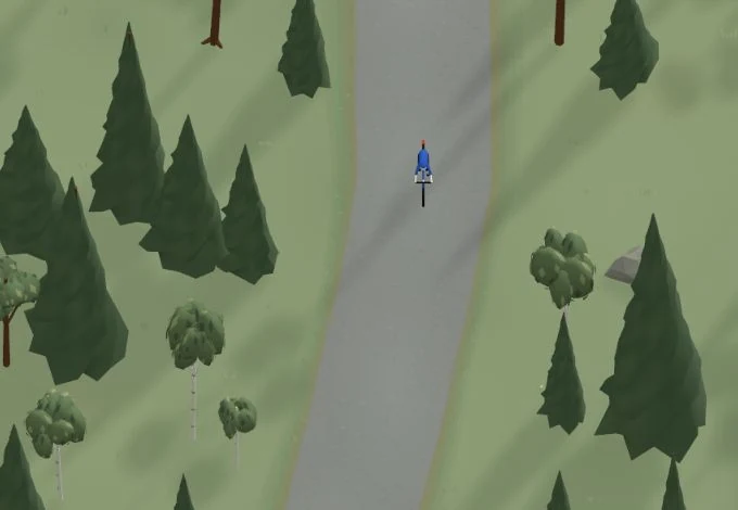
Get a taste of the route in a short, playful cycling game. Follow the bends, take on the hills and discover places along the way.
Start the gameBe the first to suggest a place! As a member, you can add your own locations via the button on the map. Learn more about membership
Found something that does not look right with the GPX file, map, route alignment, or content?
Tips and experiences
As a member, you can read tips from others and share your own experience here.
Learn more about membership