
The route on your phone
Become a member to use the route with your phone. You can use the app, or open the GPX file in another map app or GPS device.


Now it carries straight into the forest and upwards on gravel roads with fairly loose gravel. It goes up towards Dalsland’s highest point, Baljåsen. There are quite nice views from a couple of places. Svanskog is the first place it is possible to buy food, after approx. 23 km so feel free to bring some snacks so you do not run out of energy in the hilly landscape.
After a stretch of asphalt, you are back on gravel roads. The farm Echstedska is worth a visit and has a summer / weekend cafe. At Nysäter is Värmland Vikingacenter which is open in summer.
The last kilometers towards Borgvik go past farms and through forests. The whole of Borgvik is almost like a museum with lots of old preserved buildings of stone and a lot of history. It is a very idyllic place where it is nice to go for walks. Don’t miss the gallery in Sliperiet, where there is also a nice restaurant. Or eat in Kungskvarnen which is located by the waterfall and which also has accommodation.
The app is a practical way to use Norway by Bike on your phone, including routes, favorites and selected membership features.




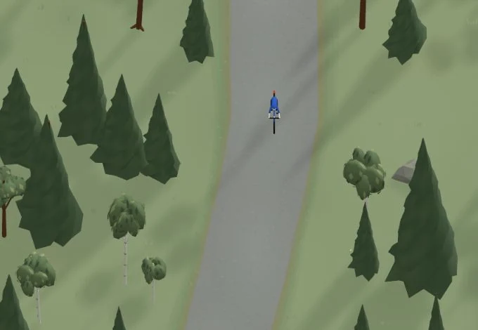
Get a taste of the route in a short, playful cycling game. Follow the bends, take on the hills and discover places along the way.
Start the gameBe the first to suggest a place! As a member, you can add your own locations via the button on the map. Learn more about membership
Found something that does not look right with the GPX file, map, route alignment, or content?
Tips and experiences
As a member, you can read tips from others and share your own experience here.
Learn more about membership